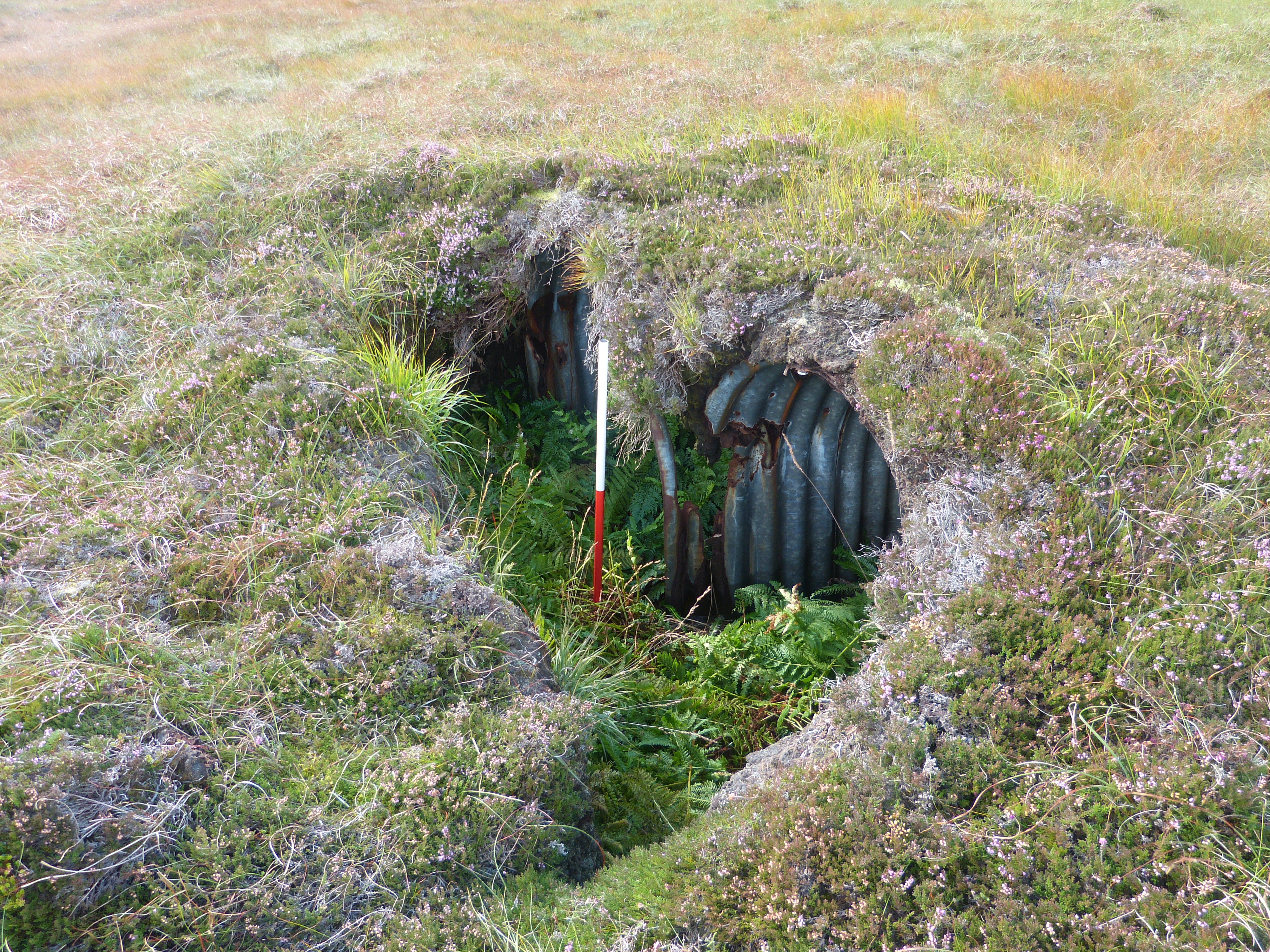
Welcome to the Island of Hoy Development Trust’s WWII Site Explorer. Here it is possible to get an idea of just how extensive the archaeological legacy of World War Two is on Hoy from the comfort of your digital device.
Site Explorer is a condensed version of a much larger geographical database of sites which is held at the IoHDT Office in Longhope. If you are interested in reading more information about Hoy’s WWII sites and seeing more photographs then you are most welcome to contact the office and arrange a convenient time to visit the archive and use the database.
There are lots of ways to explore the archaeology of WWII on Hoy both digitally and physically. The Site Explorer offers a good starting point showing where you can find sites if you are out and about and in most cases it will also explain what the sites are. If you’d like a to take a more informed journey into the past then why not pick up one of the Lyness Wartime Trail Leaflets, available from most Orkney travel centres, tourist information centres and museums, or look out for a guided walk led by one of the highly knowledgeable and enthusiastic staff of the Scapa Flow Visitor Centre and Museum. As the location of the Royal Navy’s Home Fleet base in WWII, Lyness has one of the highest concentrations of surviving standing buildings dating to the Second World War in Orkney not to mention a wealth of engaging stories to share making it a great place to start.
Try our Wartime Heritage Geocache Trail
For the more adventurous, IoHDT has launched a Wartime Heritage Geocache Trail which takes in sites across Wee Fea Hill, just beyond Lyness. It is a 7 point multi-cache trail with each cache box providing the coordinates to the next site. Each cache contains information to help explain what took place at each of the sites on Wee Fea during WWII and there are also activities in each of the boxes to encourage younger participants to explore the landscape and find out more about the wartime past of Hoy. All you need is a GPS or smart phone with active GPS capability or if you’re good at accurate navigation then a map and compass. You can start your adventure here.
| AA | Anti-Aircraft | OP | Observation Post |
| AASL | Anti-Aircraft Searchlight | PAD | Passive Air Defence |
| AALMG | Anti-Aircraft Light Machine Gun | PDO | Passive Defence Office |
| AAOP | Anti-Aircraft Observation Post | RAF | Royal Air Force |
| ACOS | Admiral Commanding Orkney & Shetland | REME | Royal Electric & Mechanical Engineers |
| ADIT | Horizontal access tunnel into an underground mine | RME | Royal Marine Engineers |
| CA | Coast Artillery | RN | Royal Navy |
| HAA | Heavy Anti-Aircraft | RYPA | Role, Yaw, Pitch, Alter Course |
| LAA | Light Anti-Aircraft | UOFS | Underground Oil Fuel Store |
| L/T | Land Telegraphy | W/T | Wireless Telegraphy |
| LOP | Light Observation Post |
Start Exploring:
Explore the Hoy & Walls WWII Wartime Heritage sites on this website from anywhere, including at the sites themselves using your GPS enabled digital device, and the Island of Hoy Development Trust’s Site Explorer interactive maps which can be found on the pages below. The sites have been geographically categorised into the following to aid physical exploration while visiting Hoy.
Why not tell us about your visit to a site and share your experience with others by posting a comment and maybe a photograph on the relevant Site Explorer page. Perhaps you or older relatives have memories, stories or photographs of these sites from during WWII or the years since. If so then please feel free to share your recollections with us in the Comment section at the bottom of the Site Explorer pages.
The above map is a summary of all the sites from the other geographical sections (Hoy: , North Walls and South Walls) on this website coupled with the WWII Hoy & Walls Wartime…
The different site types are shown in different colours on the map. other Explore WWII Hoy & Walls pages
The different site types are shown in different colours on the map. other Explore WWII Hoy & Walls pages
The different site types are shown in different colours on the map. other Explore WWII Hoy & Walls pages
The different site types are shown in different colours on the map. other Explore WWII Hoy & Walls pages
The different site types are shown in different colours on the map. other Explore WWII Hoy & Walls pages
The different site types are shown in different colours on the map. other Explore WWII Hoy & Walls pages
The different site types are shown in different colours on the map. other Explore WWII Hoy & Walls pages
The different site types are shown in different colours on the map. other Explore WWII Hoy & Walls pages
The different site types are shown in different colours on the map. other Explore WWII Hoy & Walls pages
The map shows the WWII Hoy & Walls Wartime Heritage Sites currently listed in the Royal Commission on the Ancient and Historical Monuments of Scotland (RCAHMS) database – the relevant links to that…


